
Hiking maps for Norway, Sweden, Finland and Iceland
Highly detailed maps, with data straight from each country’s official mapping agency.
Free download for iPhone, iPad and Mac
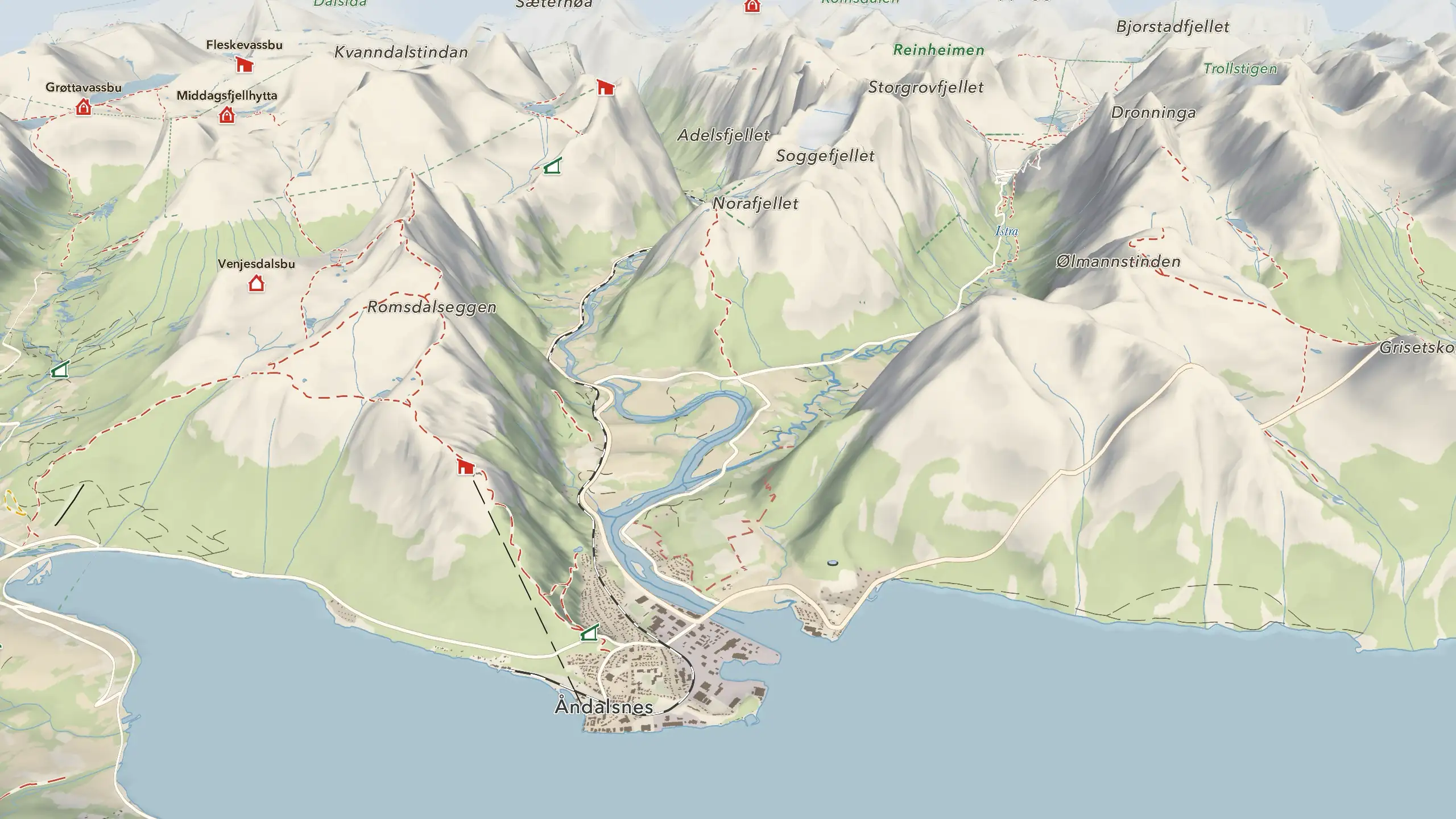
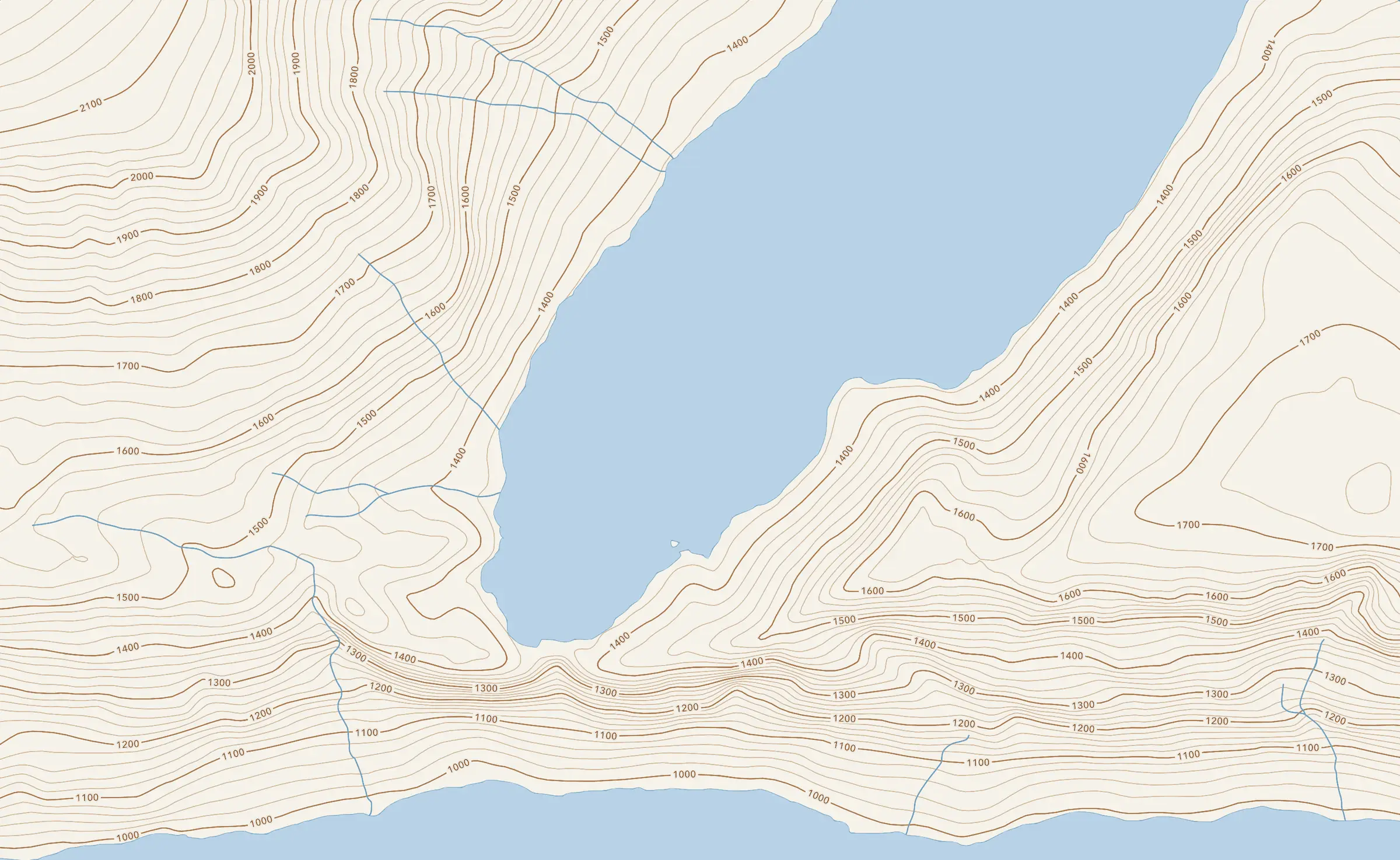
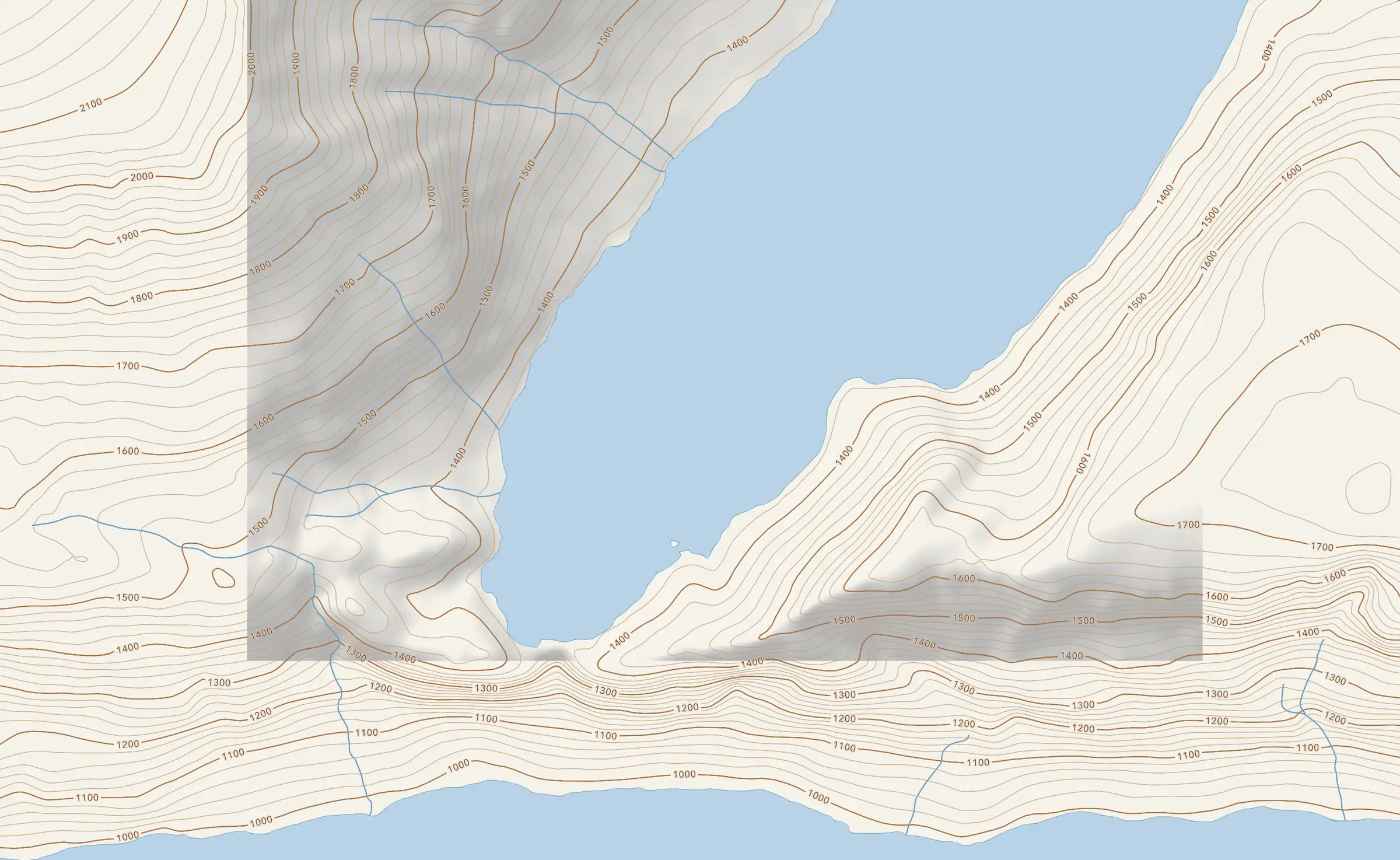
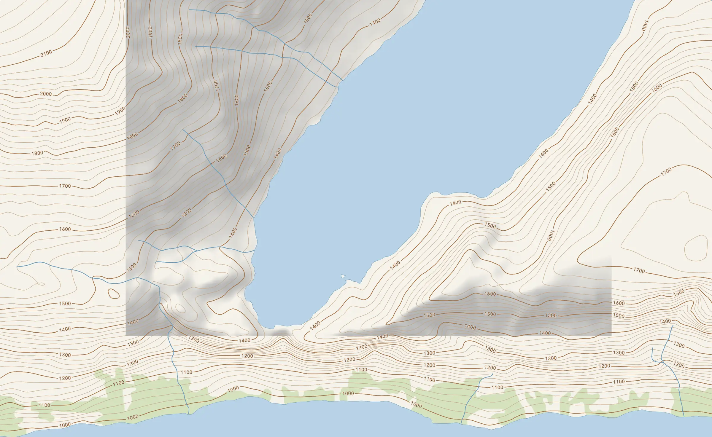
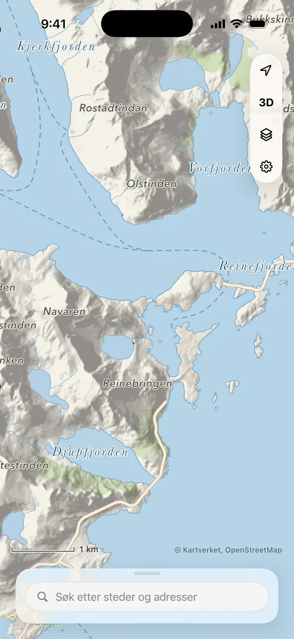
Read the terrain before you go
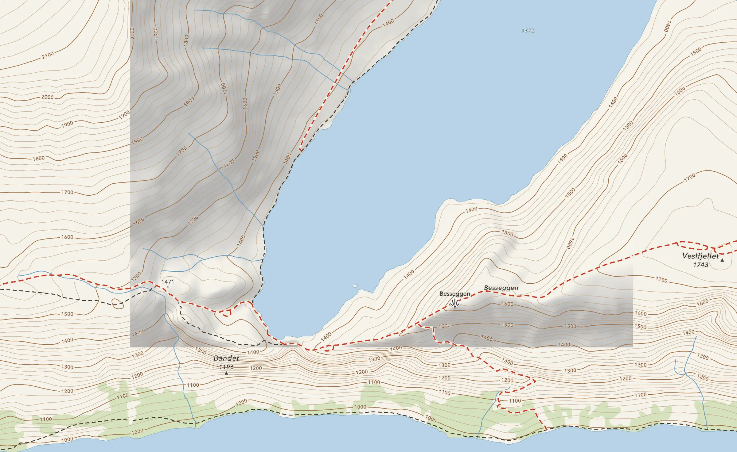
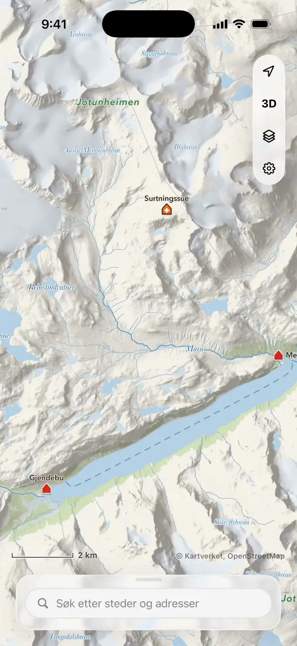
Contour lines, relief, forest, marsh and water, trails and huts: the map is drawn layer by layer, with map data from each country’s official mapping agency.
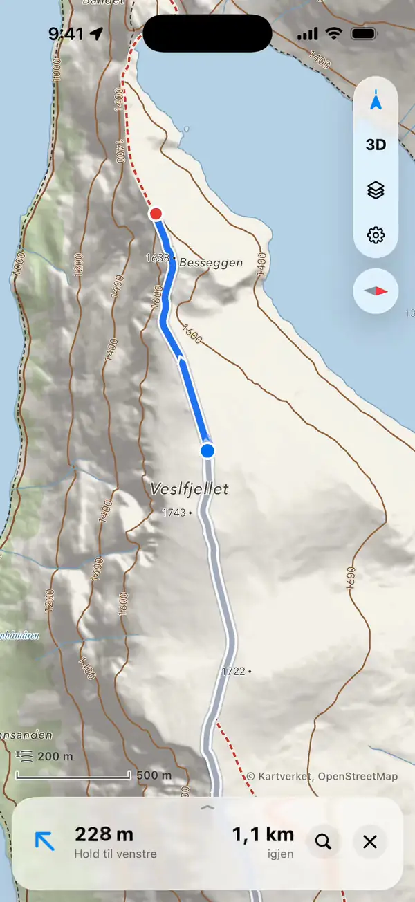
Find the way, turn by turn
Press and hold anywhere and choose Route here. iLende finds the way along trails and roads, on foot or by bike, with the climb included.
With iLende Pro
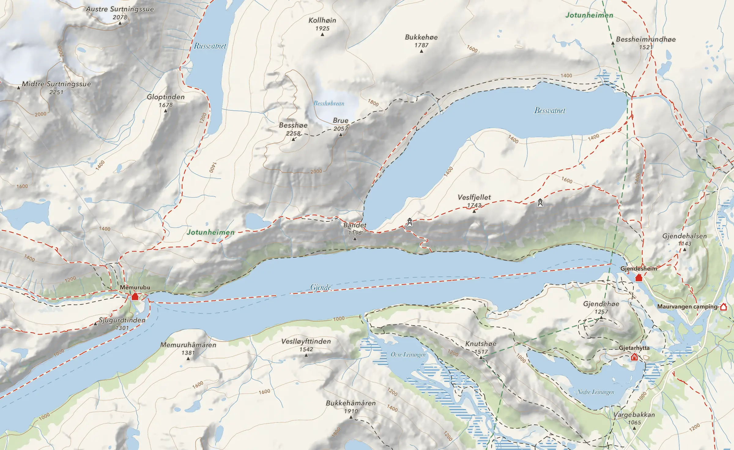
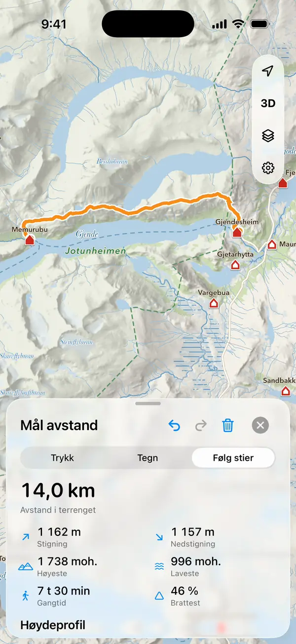
GjendesheimMemurubu
- Distance along the terrain
- 14.0 km
- Climb
- 1,162 m
- Walking time
- 7 hr 30 min
Elevation profile1740 m
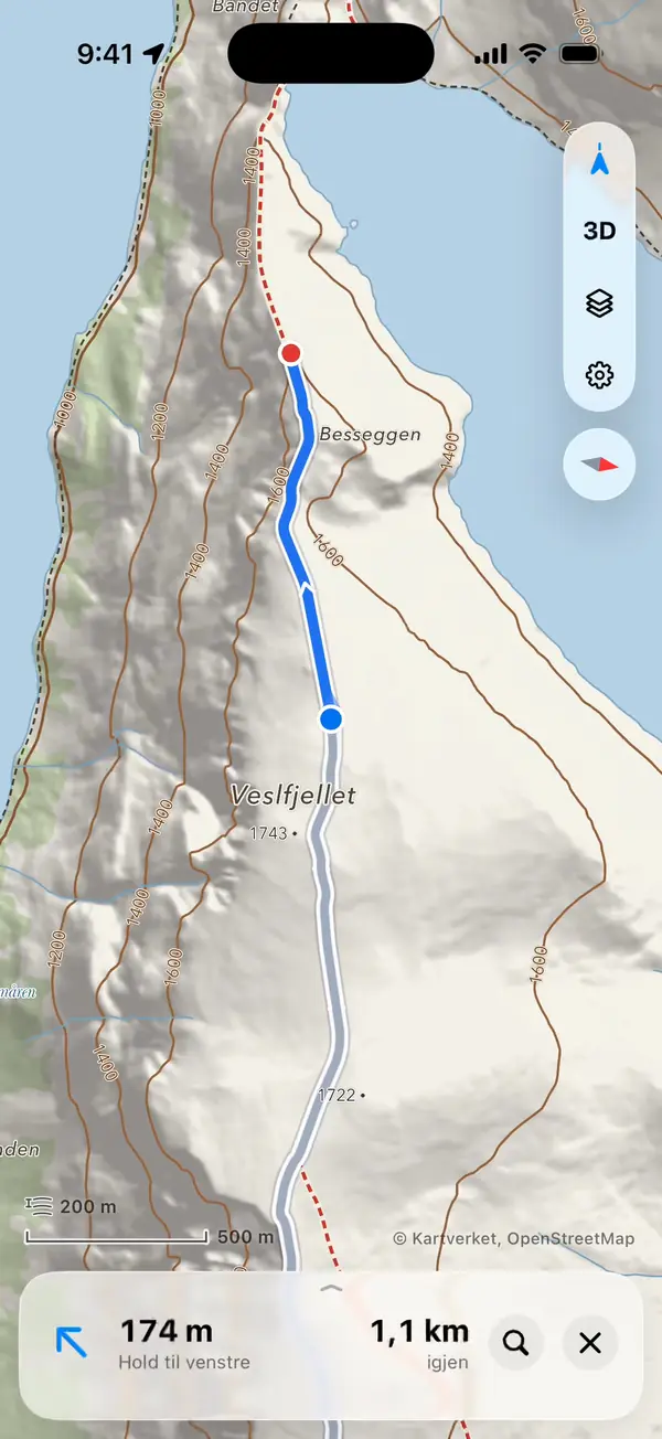
Turn by turn on the trail
The next turn, the distance to it and how far there is left stay at the bottom while the map follows you along the route.
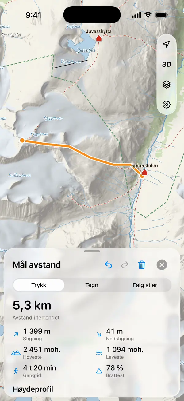
Measure any trip
Tap, draw or follow the trails, and see the distance along the terrain, the climb, the elevation profile and the terrain the trip crosses.
With iLende Pro
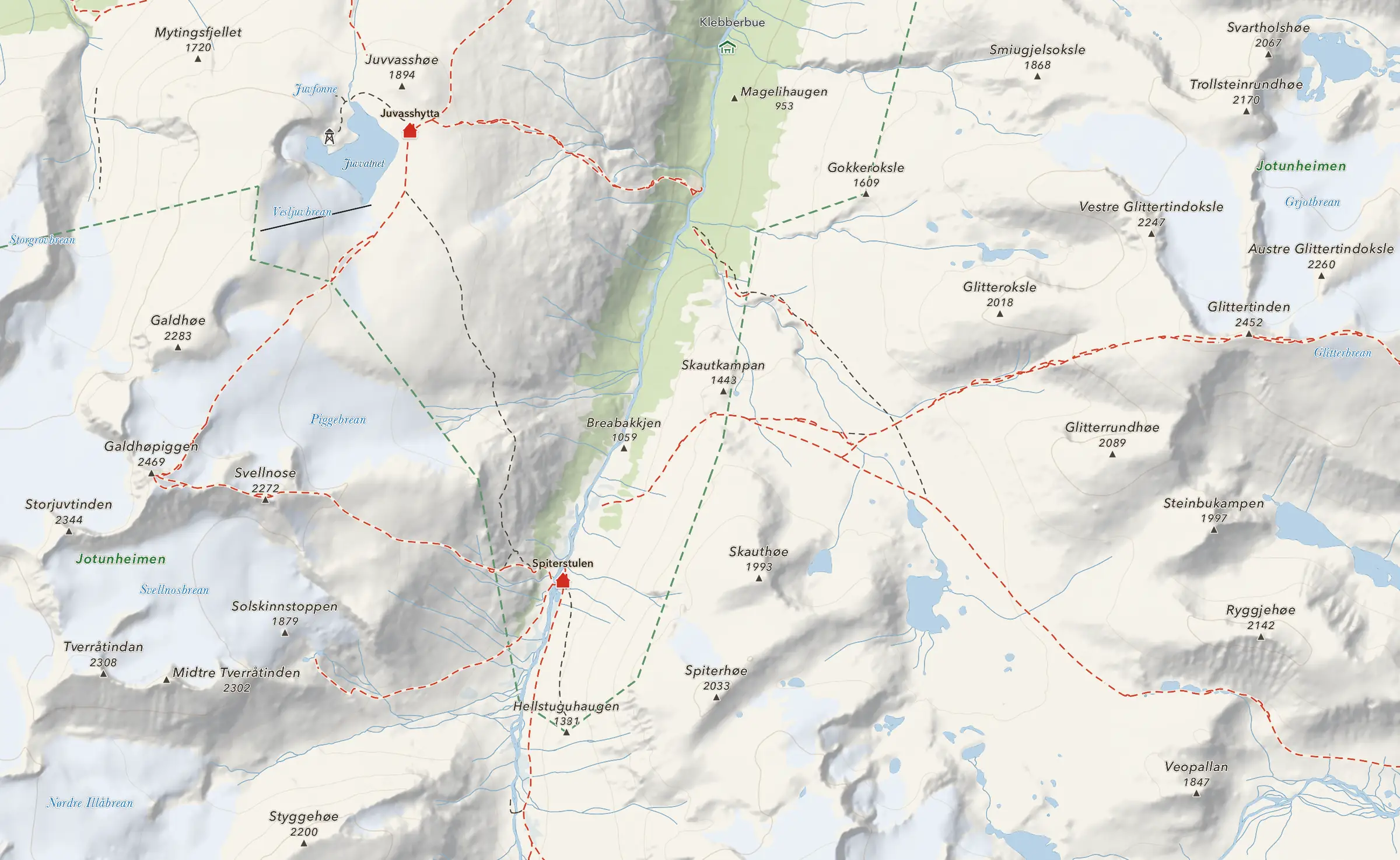
GaldhøpiggenGlittertinden
- Distance along the terrain
- 13.6 km
- Climb
- 1,492 m
- Descent
- 1,499 m
Elevation profile
Tap your way to the top
Each tap adds a point. The distance follows the terrain, and the climb, walking time and elevation profile are worked out at once.
The map works without coverage
Download the area before the trip. The map, search, huts and navigation work where there is no signal, and the download carries on in the background.
With iLende Pro
Landmannalaugar
Downloading 100 %Ready offline
Frame it, name it, download it
Drag the frame over the area and see how big it will be. Saved maps update themselves on Wi-Fi when a newer map is published.
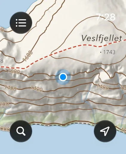
The map on your wrist
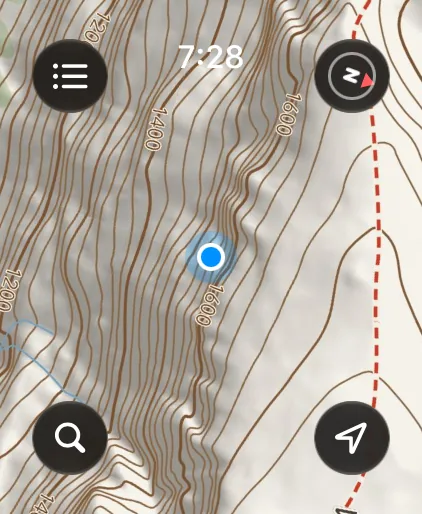
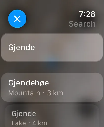
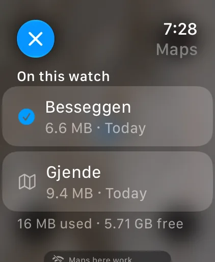
Send a downloaded area to Apple Watch. On the watch the map works without your iPhone and without a connection, with your position and search.
With iLende Pro
- The map, with your position
- Compass
- Search the area
- The maps on the watch
Let the trip carry on across the border
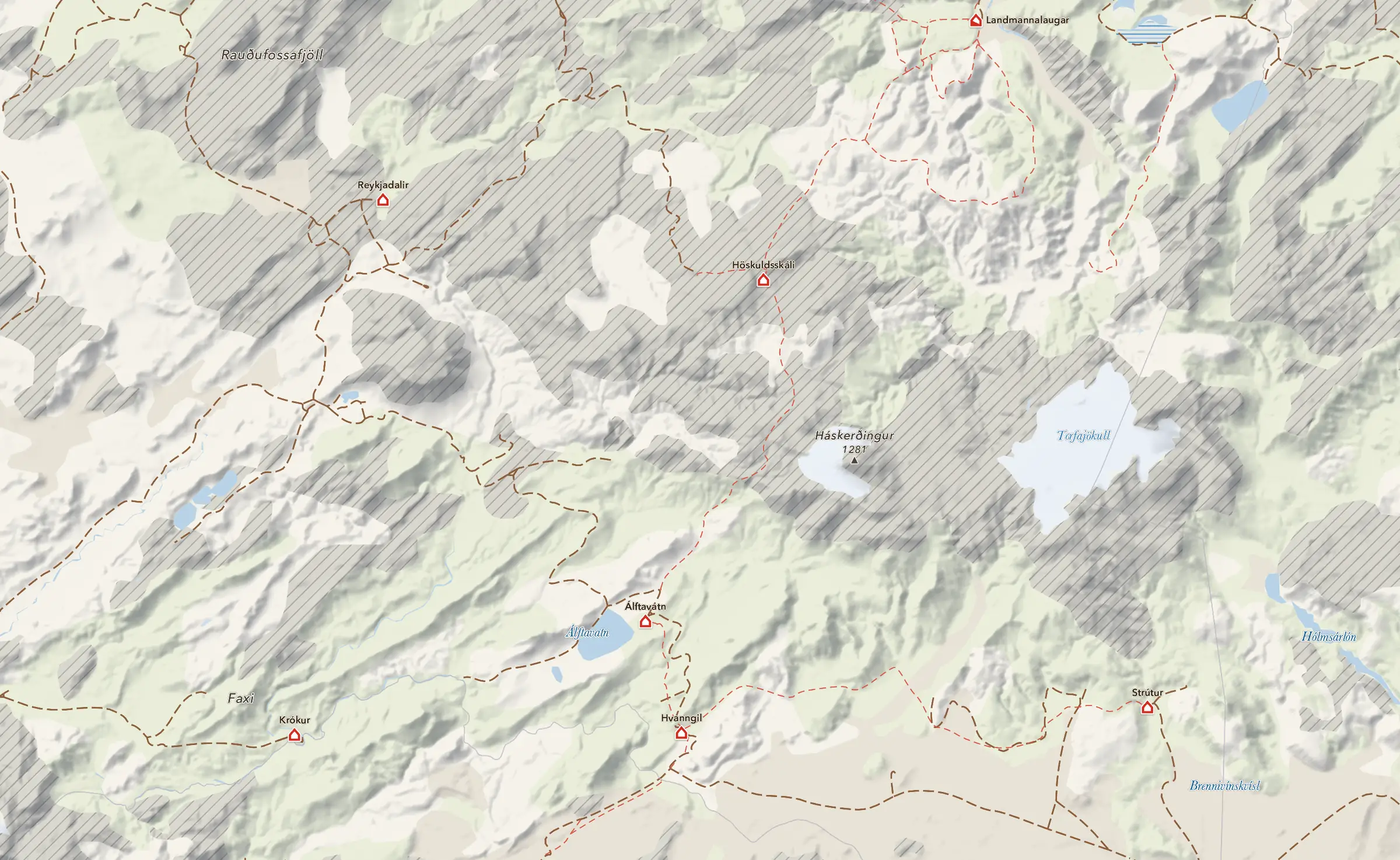
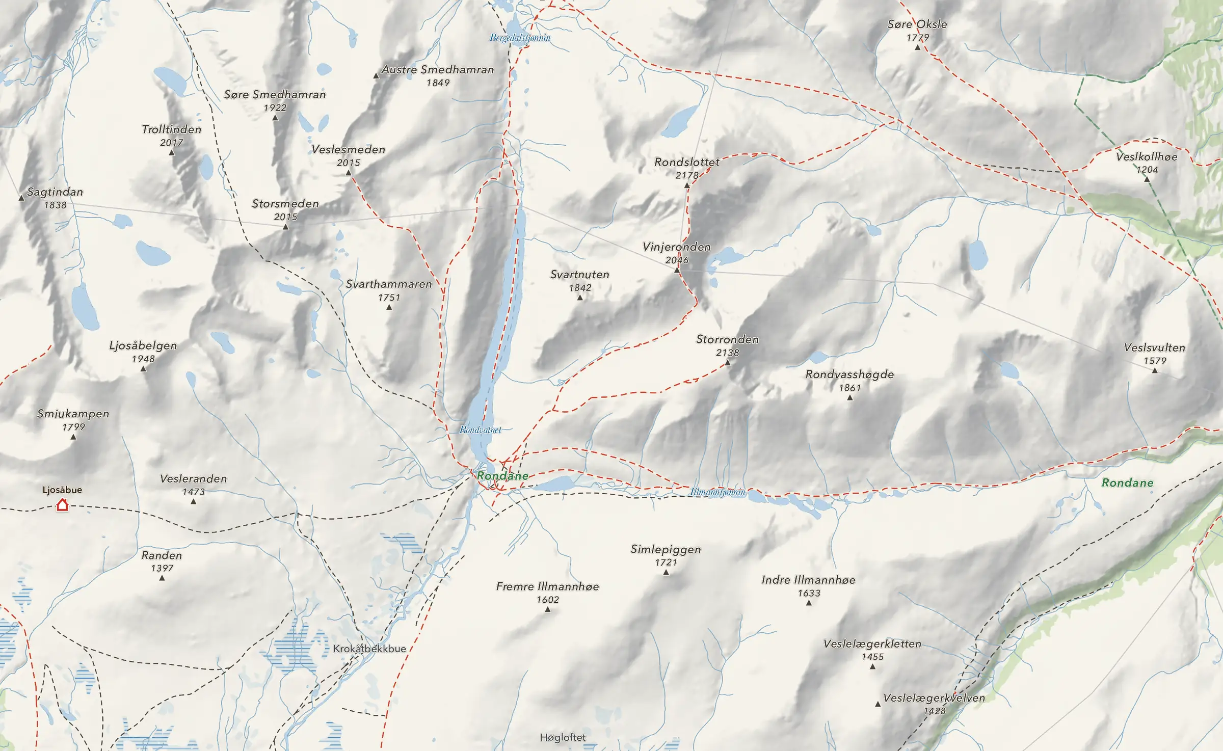
The map doesn’t stop at the border. Trails and huts look the same in all four countries.


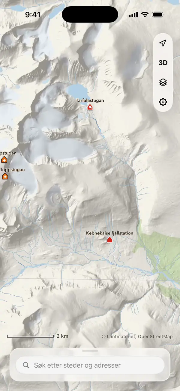
One map from Kebnekaise to Landmannalaugar
The same symbols, colours and relief in Sweden, Finland and Iceland as in Norway.
Huts and marked routes
Every hut and route has its own page with a map and what lies around it.
24,500huts and shelters
38,500marked routes
Search in four countries
Search finds places, huts, routes and addresses in all four countries, and results from the country you are in come first.
No account and no tracking
iLende does not need to know who you are.
No accountYou download the app and use it, with no sign-up.
No ads or trackingNeither the app nor the website has ads or analytics.
Your position stays with youIt is not kept as a history and never sent to us.
Questions and answers
What does iLende cost?
The app is free to download, with the whole map in every country, search, huts, routes and waypoints. iLende Pro adds offline maps (also on Apple Watch), navigation, measuring and waypoint sync between iPhone and iPad. Today iLende Pro is a one-time purchase. From iLende 1.4.3 you choose a yearly subscription at NOK 199 a year, with 7 days free for new subscribers, or a one-time purchase at NOK 599. The App Store shows the price for your country. Both can be shared with up to five family members through Family Sharing.
I already bought iLende Pro. Do I pay again?
No. Everyone who has already bought iLende Pro keeps it. There is nothing to do and nothing more to pay.
Does the map work without signal?
Yes, with iLende Pro. Download the area before you go, and the map and search work offline, on Apple Watch too.
Do I need an account?
No. There is no account, in the app or on the website.
Can I use the map in a browser?
Yes. On the website you can browse the map, search and find huts and routes, in Safari 26 and recent Chrome and Edge. Waypoints are saved in the app, and iLende Pro adds offline maps, Apple Watch, navigation and measuring.
Download the iLende app for free
WaypointsSave the car park, the campsite or the fishing lake.
With iLende Pro
Offline mapsDownload areas, and the map and search work without signal.
NavigationTurn by turn along trails and roads.
Measuring and Apple WatchDistance and climb along the terrain, and the map on your watch without the iPhone.
From iLende 1.4.3: yearly or once
Today iLende Pro is a one-time purchase at the price below. The yearly subscription comes with iLende 1.4.3.
Yearly subscription
NOK 199 a year
7 days free for new subscribers, then NOK 199 a year. Suits you if you want to try it, or hike for one season.
One-time purchase
NOK 599 once
Pay once and get access to iLende Pro, with no yearly payments. Costs about the same as three years of the subscription, so it pays off if you use iLende for years.



Scan with your iPhone camera
The App Store shows the price for your country before you buy. From iLende 1.4.3 the subscription renews every year at the yearly price, after the trial too, unless you cancel it in the App Store at least 24 hours before the period ends.
Both work on all your Apple devices with the same Apple Account, and can be shared with up to five family members through Family Sharing.
If you have already bought iLende Pro, you keep it, with nothing to do.